TripGenie
A public tool for context-sensitive trip estimates and transit-oriented planning.

Transportation planners, engineers, developers, and public officials
Research translation · Database integration · Interactive guides
Transportation planners, engineers, developers, and public officials
Research translation · Database integration · Interactive guides
Project overview
The challenge
Trip generation estimates help planners assess how a development will affect travel and infrastructure needs. Standard trip-generation handbook rates can be a poor fit for dense, transit-oriented land uses: a restaurant in a suburban strip mall and the same restaurant near frequent transit can generate very different patterns of driving, walking, biking, and transit use.
Our work
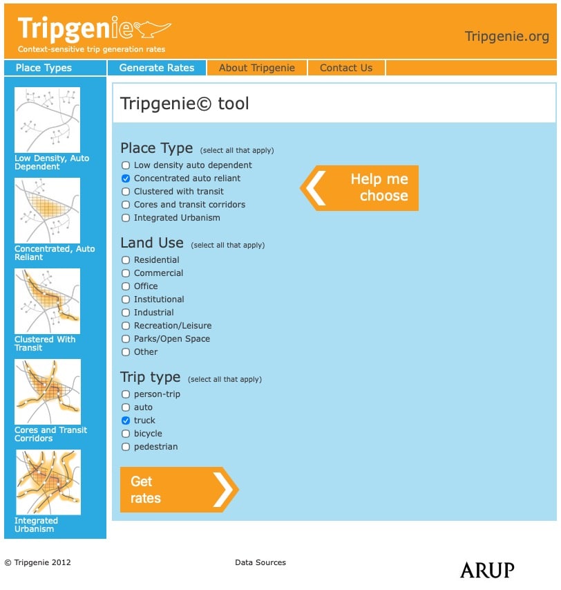
BlinkTag built TripGenie’s public-facing website and imported ARUP’s database of research-based trip generation rates. An interactive place-type guide helps users identify a setting that matches their project, then look up rates by place type, land use, and trip mode.
A public resource for better planning
BlinkTag and ARUP made TripGenie public so it could be shared with clients and partners and used by planners across the United States. The aim was to encourage wider use of research-based, context-sensitive trip generation rates in planning decisions.
For transit-oriented development, rates that account for walking, biking, and transit can help justify less parking than estimates based on auto-dependent places. Making the research accessible supported a more progressive approach to planning: matching road and parking provision to how people would actually travel.
Research rates that reflect the setting
ARUP assembled rates from academic research, city planning agencies, surveys, environmental impact statements, and other sources. The database includes dense, transit-oriented settings that conventional handbook rates do not adequately represent.
Rates are organized into five place types, ranging from low-density, auto-dependent areas to high-density urban centers with connections across travel modes. Users can focus on research relevant to the place they are planning.
A seven-step visual guide
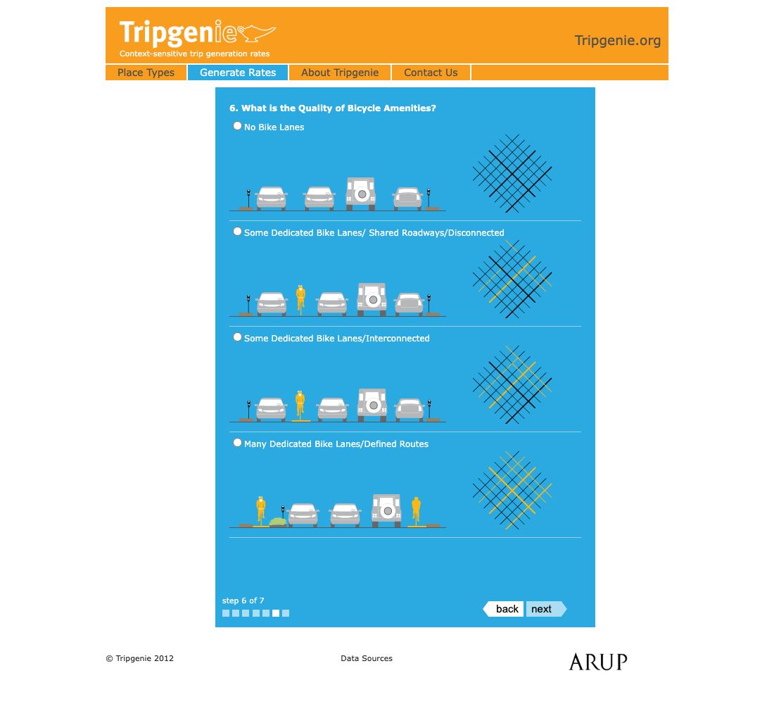
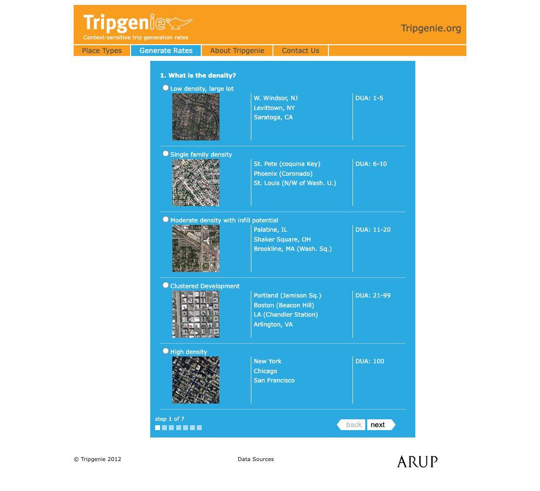
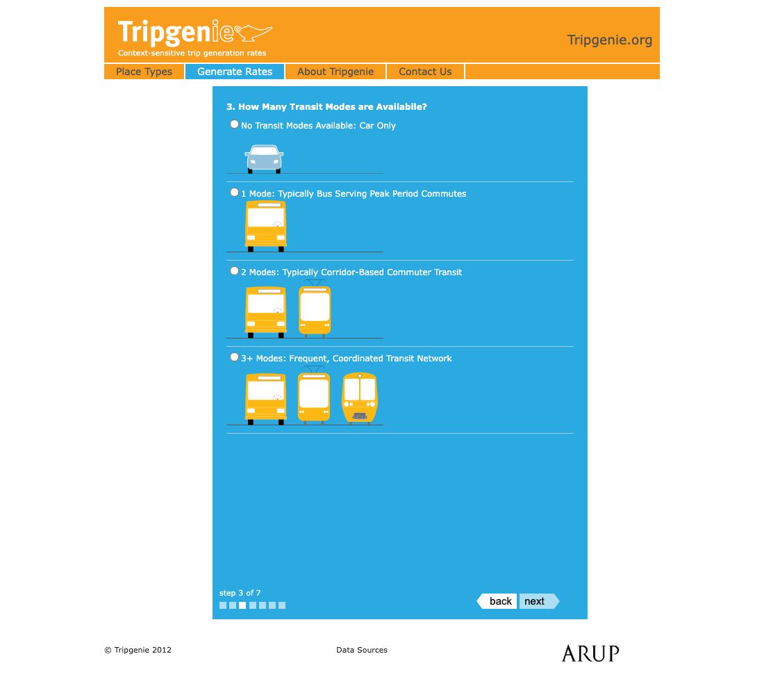
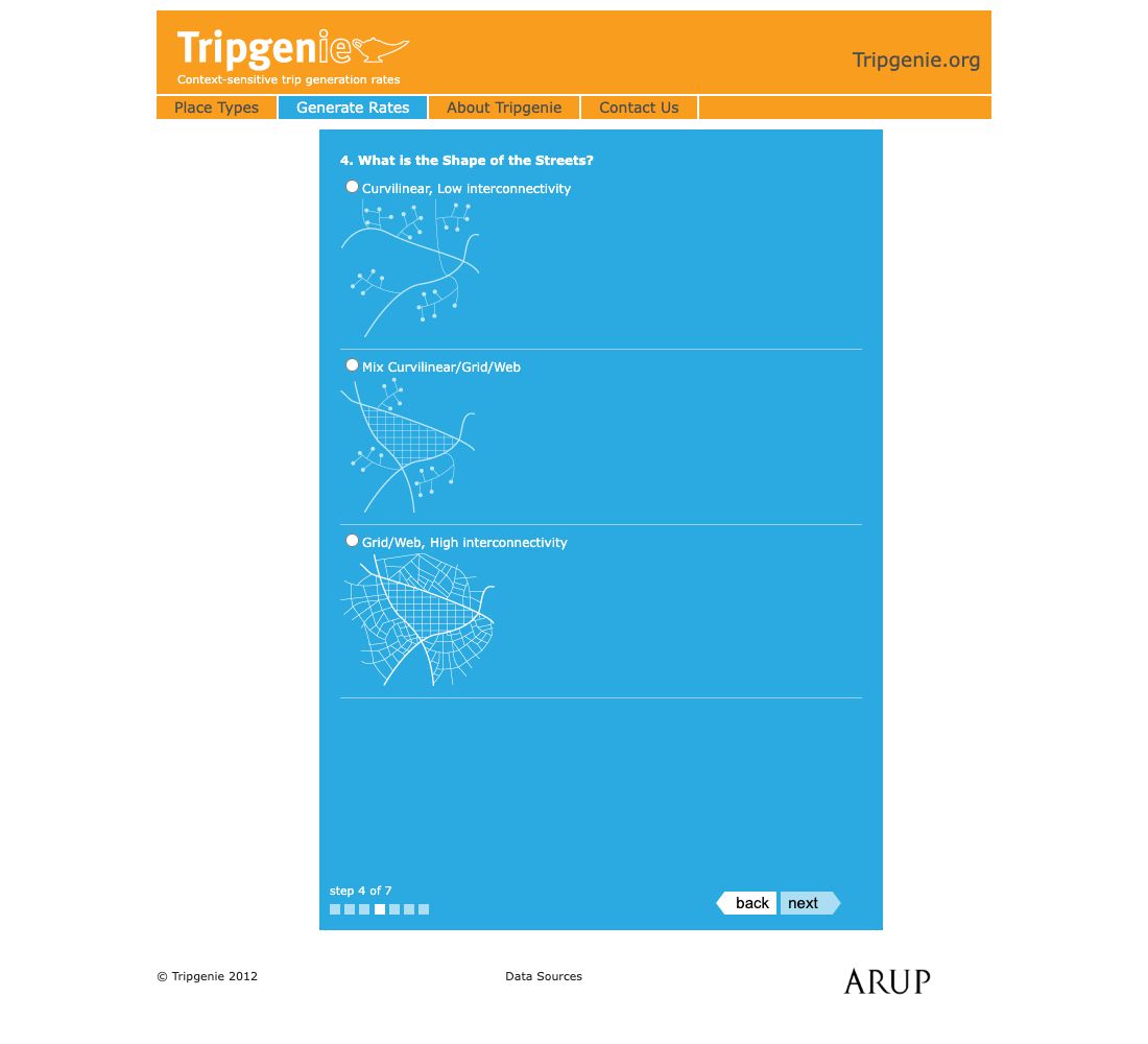
The place-type wizard uses simple questions, illustrations, and photographs to guide users through density, zoning, transit service, the street grid, sidewalks, bicycle infrastructure, and parking. It helps users choose an appropriate place type before looking up rates.
From rate lookup to planning analysis
Query results are available on the web and exportable to Excel for further analysis. The goal is to help planners, engineers, developers, and public officials estimate travel demand in context and avoid allocating more road and parking space than a place needs.
Related projects
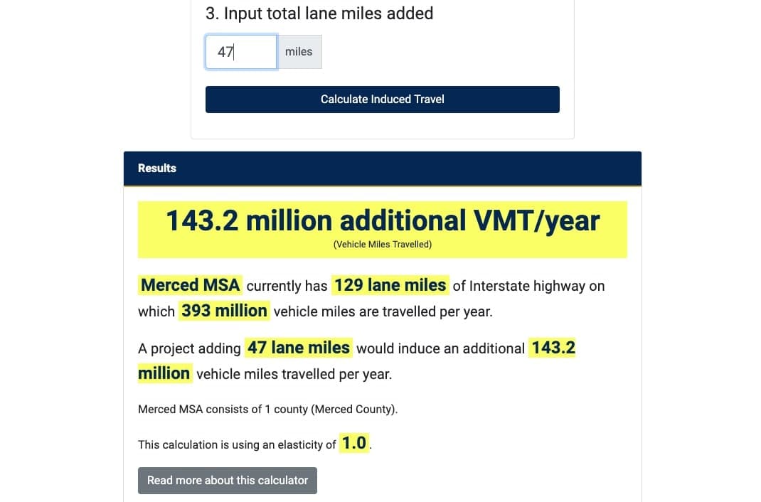
California Induced Travel Calculator
A simple way to estimate the additional travel associated with highway expansion.
Maps & decision tools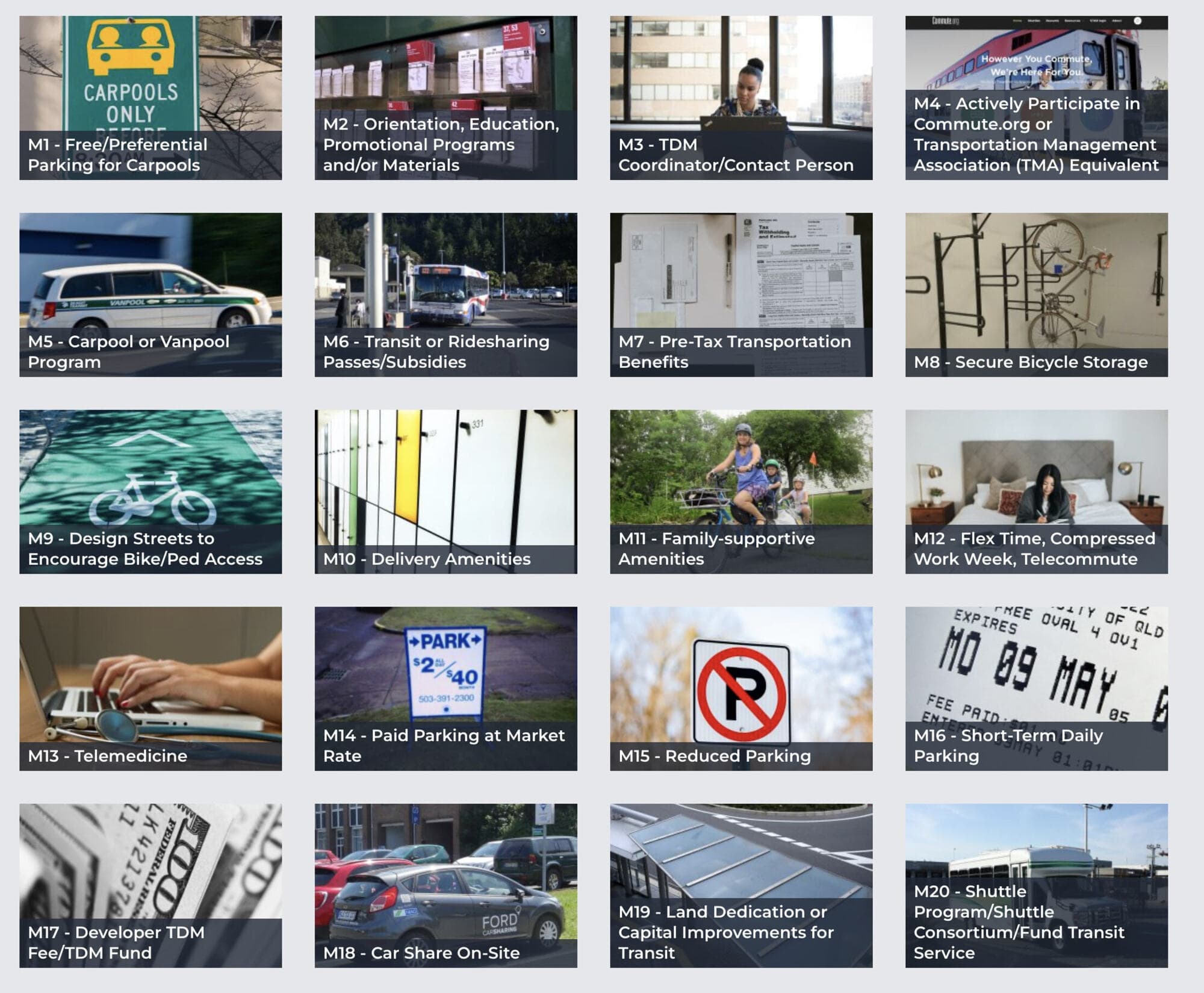
San Mateo County TDM program
A website, linked PDF checklists, and video tutorials explaining new transportation demand management requirements.
Engagement & resourcesWebsites & digital publicationsCommute programs & TDMPlanning a similar project?
Tell us about your requirements and the people who will use the system.