Manaikhoroo Participatory Mapping
Maps and neighborhood-service data for Ulaanbaatar residents and city staff.

Ulaanbaatar residents, community advocates, and municipal planners
Interactive mapping · Data visualization · Data analysis · Website development
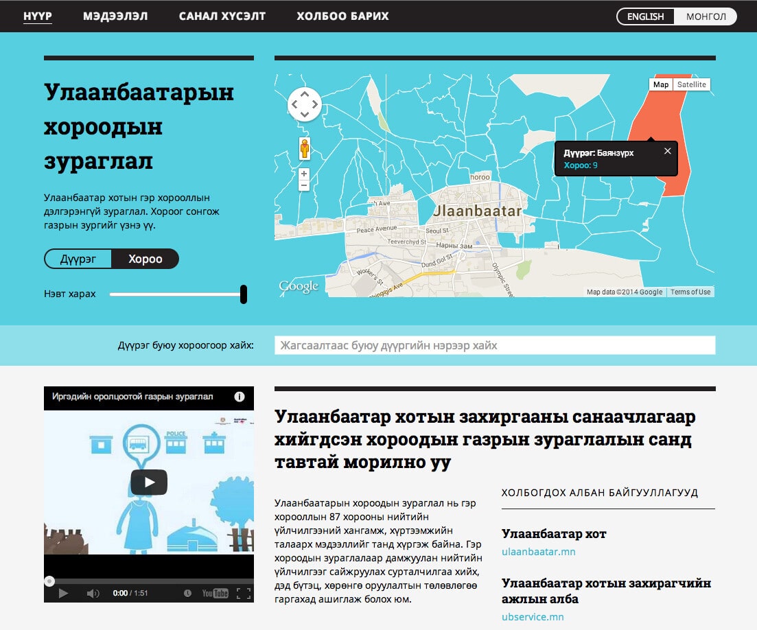
Ulaanbaatar residents, community advocates, and municipal planners
Interactive mapping · Data visualization · Data analysis · Website development
Project overview
The challenge
Rapid migration to Ulaanbaatar created sprawling ger districts, where many families lived in traditional Mongolian yurts. Harsh winters and scattered, low-density settlement made basic services difficult to deliver, while planners needed reliable neighborhood data to decide where investment was most urgent. The community mapping effort covered 87 neighborhoods and more than 800,000 residents, documenting access to water, health care, education, public transport, waste management, and safety. It gave residents and officials a shared evidence base for identifying service gaps and setting priorities. The data collected informed the city’s 2014 budget discussions which is the first time spatial analysis played a key role in Ulaanbaatar planning.
Our work
For The Asia Foundation, BlinkTag built the Manaikhoroo website, created maps and data visualizations, and helped analyze the underlying data. The website was delivered entirely in Mongolian.
Community knowledge, organized by neighborhood
Kota Kita worked with The Asia Foundation, the City Municipality of Ulaanbaatar, and local participants on a community-mapping initiative. Its neighborhood profiles covered water, health, education, public transport, waste management, and safety.
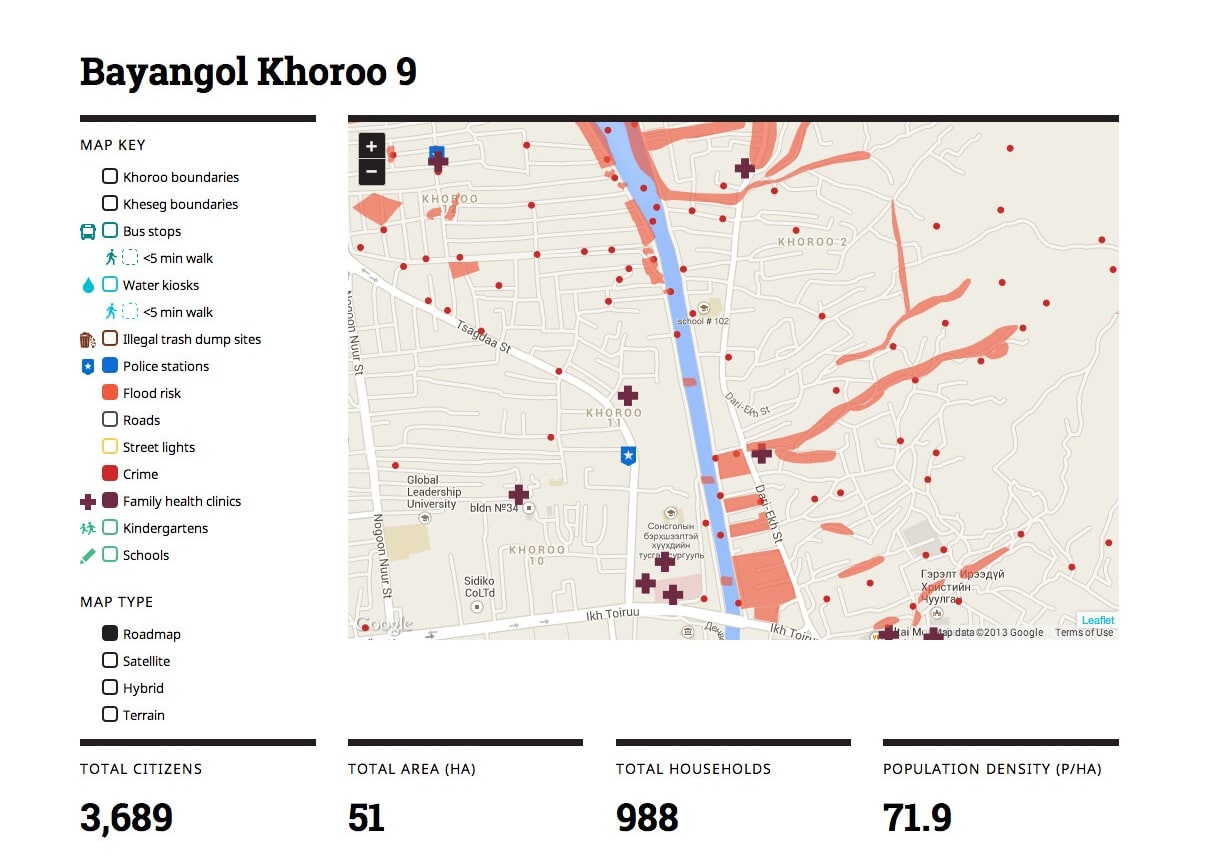
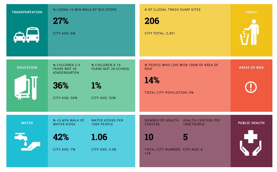
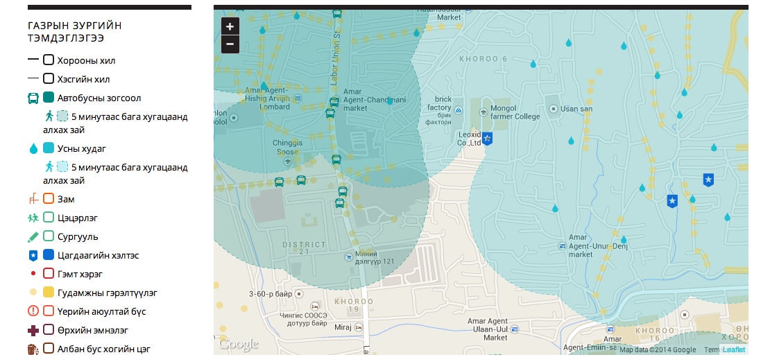
Supporting informed public investment
Kota Kita reports that the wider mapping initiative informed Ulaanbaatar’s 2014 budget discussions.
Read Kota Kita’s project account
Read the Borgen Project’s broader participatory-budgeting coverage
Related projects
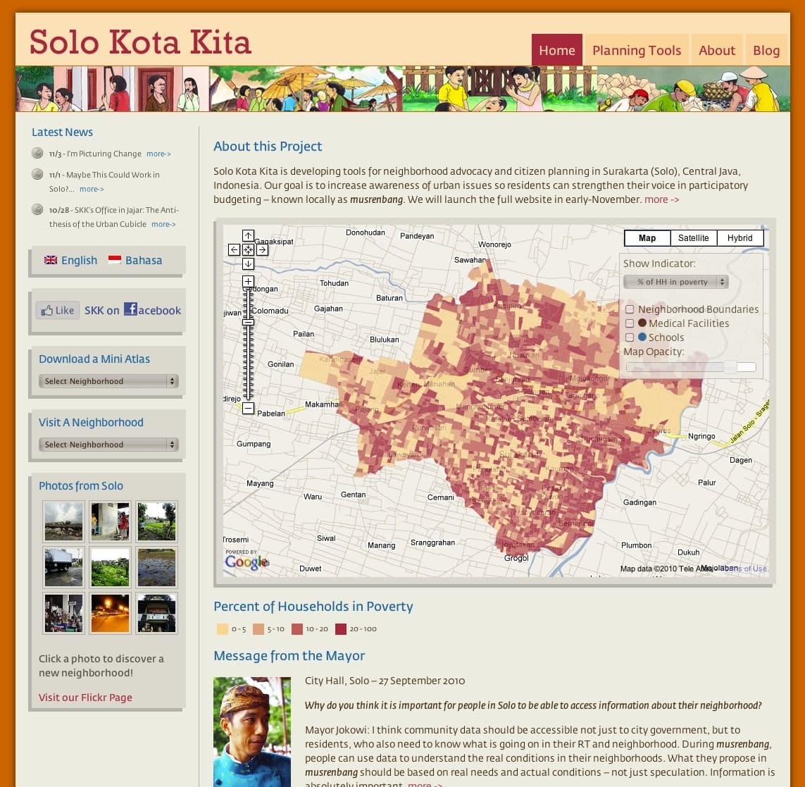
Solo Kota Kita neighborhood maps
Maps and information supporting citizen planning in Surakarta, Indonesia.
Maps & decision toolsEngagement & resourcesWebsites & digital publicationsData & operations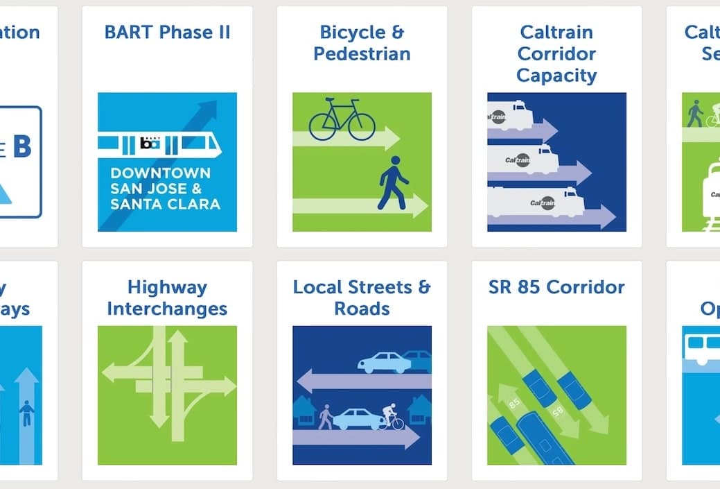
Measure B project and funding map
A public view of transportation investment through the 2016 Measure B program.
Maps & decision toolsWebsites & digital publicationsData & operationsEngagement & resourcesPlanning a similar project?
Tell us about your requirements and the people who will use the system.