Solo Kota Kita neighborhood maps
Maps and information supporting citizen planning in Surakarta, Indonesia.

Surakarta residents, community organizations, and municipal planners.
Interactive mapping · Data processing & visualization · Multilingual website development · Brand identity

Surakarta residents, community organizations, and municipal planners.
Interactive mapping · Data processing & visualization · Multilingual website development · Brand identity
Project overview
The challenge
Surakarta was collecting this kind of neighborhood census data for the first time. Residents needed a way to see and explore the information so they could use it in local planning discussions.
Our work
We developed a bilingual website in English and Bahasa Indonesia, with interactive maps and neighborhood photographs.
Neighborhood data for participatory budgeting
The project supported musrenbang, the local participatory budgeting process. Its neighborhood “mini atlases” documented local conditions; the website let residents examine the data at neighborhood and sub-neighborhood scales.
BlinkTag processed the collected data and built map layers covering poverty, health, water, and education, with charts, tables, and downloadable datasets. We also designed the logo and developed the WordPress website and social media presence.


Press coverage



Related projects
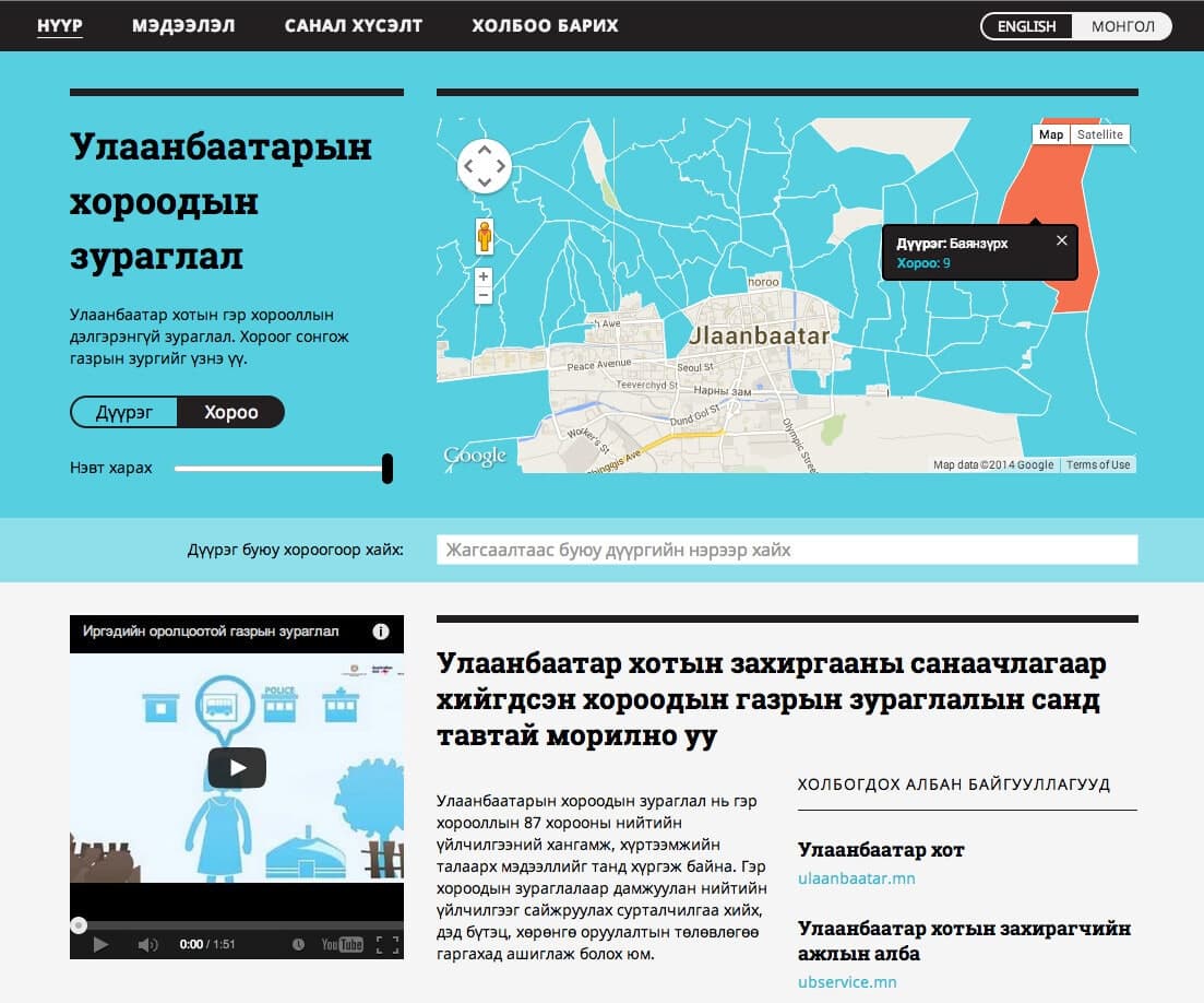
Manaikhoroo Participatory Mapping
Maps and neighborhood-service data for Ulaanbaatar residents and city staff.
Maps & decision toolsEngagement & resourcesData & operationsWebsites & digital publications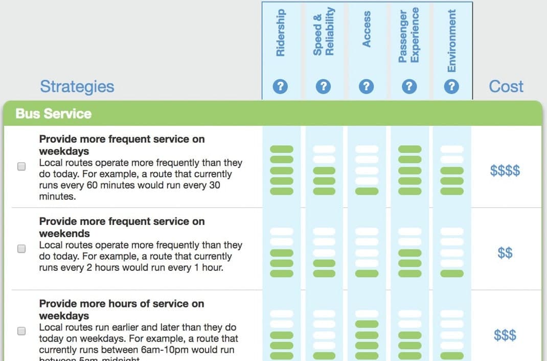
Design Your Transit System
An interactive budgeting game for exploring transit costs, benefits, and priorities.
Engagement & resourcesMaps & decision toolsData & operationsPlanning a similar project?
Tell us about your requirements and the people who will use the system.