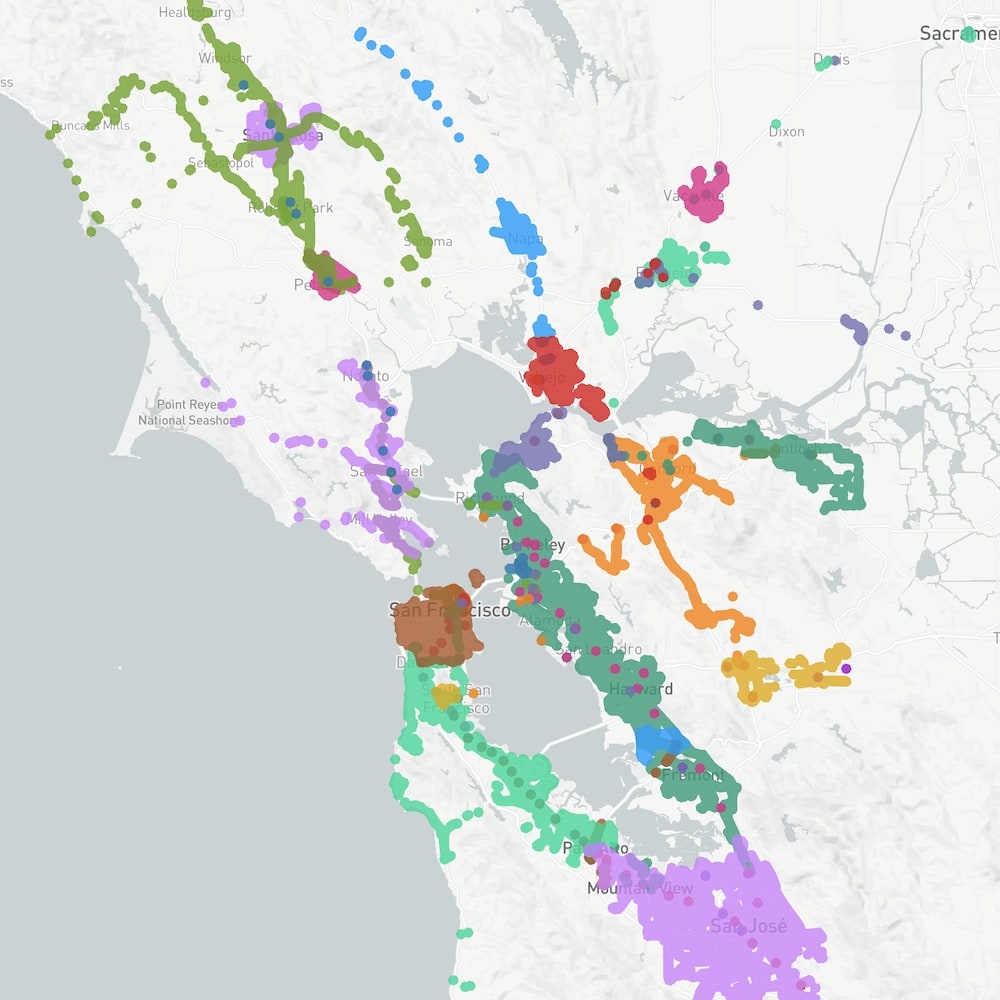
Bay Area Transit Map
BlinkTag created an interactive map showing the service areas of 29 of the Bay Area's transit agencies. The Bay Area has 29+ transit agencies, and its challenging to know where they all are, how they connect and which agencies serve a specific area.
Using BlinkTag's GTFS-to-GeoJSON library, data on stop locations is pulled in from all Bay Area transit agencies to calculate each agency's service area. This is done programmatically, so the map stays up to date when agencies make changes to routes or stops.
The map is interactive, making it easy to highlight a specific agencies service area, or click to find all agencies that serve a specific location.
© 2007 - 2020 BlnkTag Inc, All rghts reserved.Branding