Neighborhood mapping with Solo Kota Kita
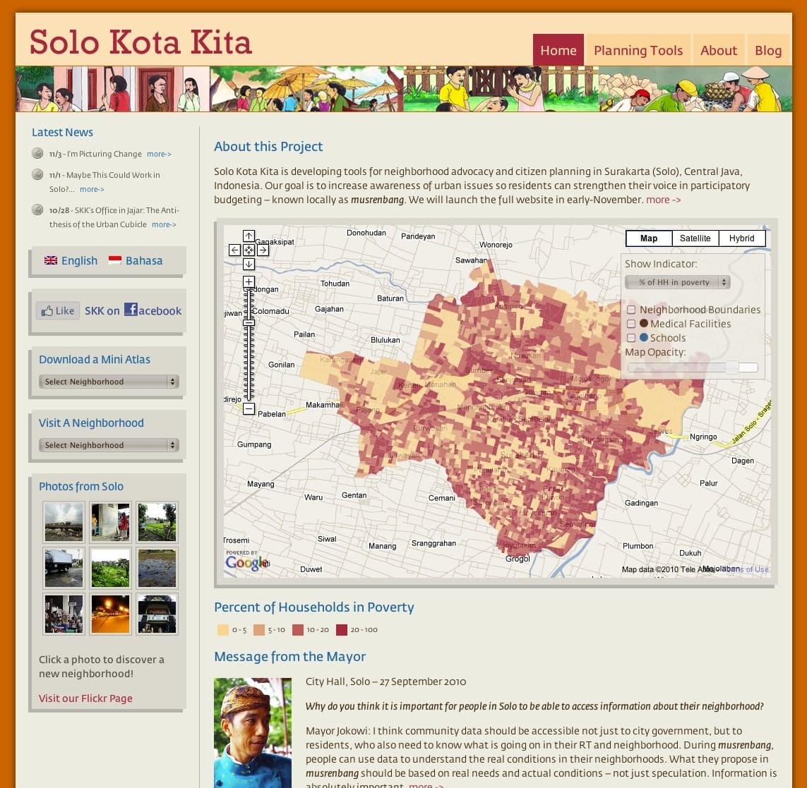
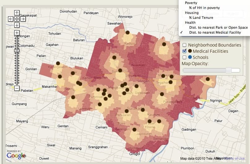
BlinkTag worked with the Harvard Graduate School of Design and the Ford Foundation to develop Solo Kota Kita’s neighborhood mapping website for Surakarta, Indonesia. Surakarta was collecting this kind of neighborhood census data for the first time. The project made local information about water, health, education, and poverty available to residents and community planners.
“On printed maps, the Solo Kota Kita project presents critical information about residents’ levels of wealth and access to services.”
We built interactive maps, charts, tables, and data downloads within a bilingual website in English and Bahasa Indonesia. Residents could explore this census information interactively for the first time, compare neighborhood conditions and use the information in musrenbang, Indonesia’s participatory planning and budgeting process.
Coverage in design and general-interest publications explored the broader community planning work.